
📋 About the Department
The Surveying Department at Al-Samawa Technical Institute is a technical department aimed at preparing specialized cadres in measurement, cartographic drawing, and positioning using modern surveying instruments, with a focus on practical training in topographic surveying and engineering projects, to qualify students for work in construction and urban projects.
The department adopts the latest curricula and technologies in Geographic Information Systems (GIS) and remote sensing, contributing to community service through applied graduation projects and technical consultations, in line with labor market requirements and technological development.
🎯 Vision, Mission & Objectives
Excellence and modernity in qualifying technical cadres in the field of civil engineering technologies scientifically and practically to meet labor market needs, and leadership in surveying sciences and geographic information systems technologies.
To prepare qualified human cadres scientifically and practically in the field of civil engineering and surveying technologies, capable of competing in the labor market according to recognized global quality standards and development in construction and urbanization, while fostering innovation and scientific research.
- Develop technical work by updating curricula and laboratories according to global quality standards, and involve staff in specialized training courses.
- Contribute to community service by organizing courses and workshops in surveying and civil engineering applications to advance construction with high quality.
- Exchange technical expertise with similar institutes, colleges, and the private sector.
- Provide a stimulating environment for learning and training using the latest surveying equipment (Total Station, GPS, levels).
- Offer engineering and technical consultations to all government institutions and the private sector in the fields of surveying and digital mapping.
- Perform triangulation, trilateration, and leveling to establish horizontal and vertical ground control points using surveying instruments (theodolite, level, Total Station, DGPS).
- Conduct topographic and cadastral surveys and necessary projection works for engineering projects, and prepare general and topographic survey maps.
- Produce maps from aerial and space imagery using restitution devices or specialized software to extract natural features of the earth.
- Design and draw maps according to Iraqi and international grids and their production stages using modern equipment and software.
- Create digital maps, collect and analyze spatial data using Geographic Information Systems (GIS), and derive thematic maps.
🔬 Department Laboratories
Objective: Train students to use aerial and satellite imagery to extract spatial information.
Practical content: Image processing, coordinate determination, production of topographic maps using specialized software.
Benefit: Prepares students for work in surveying, urban planning, and environment.
Objective: Teach students direct measurement methods on the earth’s surface.
Practical content: Use of theodolite, level, measuring tapes, and total stations.
Benefit: Develop practical skills in map creation, boundary determination, and engineering project execution.
Objective: Introduce students to Geographic Information Systems and spatial data analysis.
Practical content: Data entry, map analysis, creation of spatial databases using ArcGIS and QGIS.
Benefit: Enable students to use modern tools in planning and resource management.
Objective: Train students to read and prepare all types of maps.
Practical content: Drawing topographic maps, using symbols and scales, geographic data analysis, digital map design.
Benefit: Enhance ability to represent spatial information accurately and clearly.
Objective: Apply practical experiments on surveying-related instruments and equipment.
Practical content: Calibration of instruments (Total Station, GPS), accuracy testing, and implementation of applied projects.
Benefit: Connect students to the practical side and develop skills in operating and maintaining modern surveying instruments.
🎥 Department Introduction Video
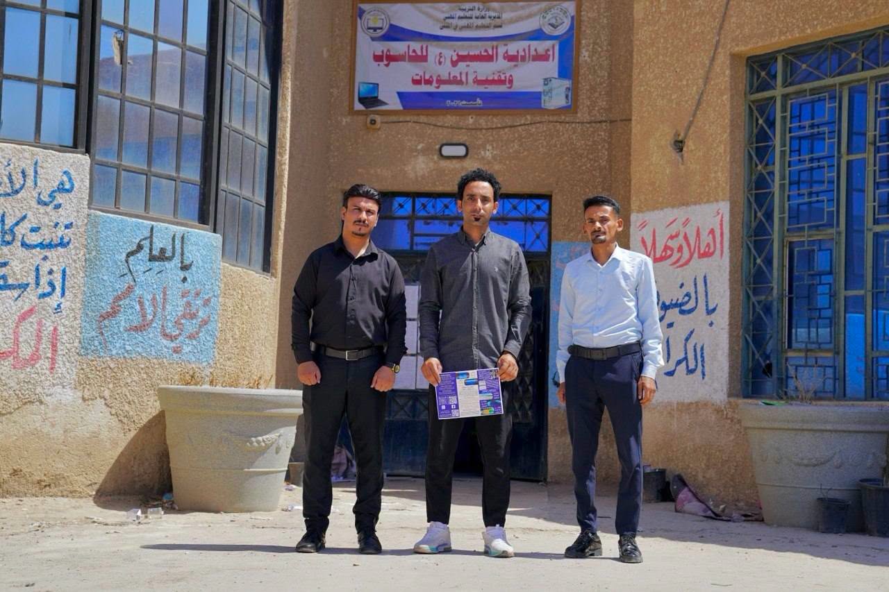
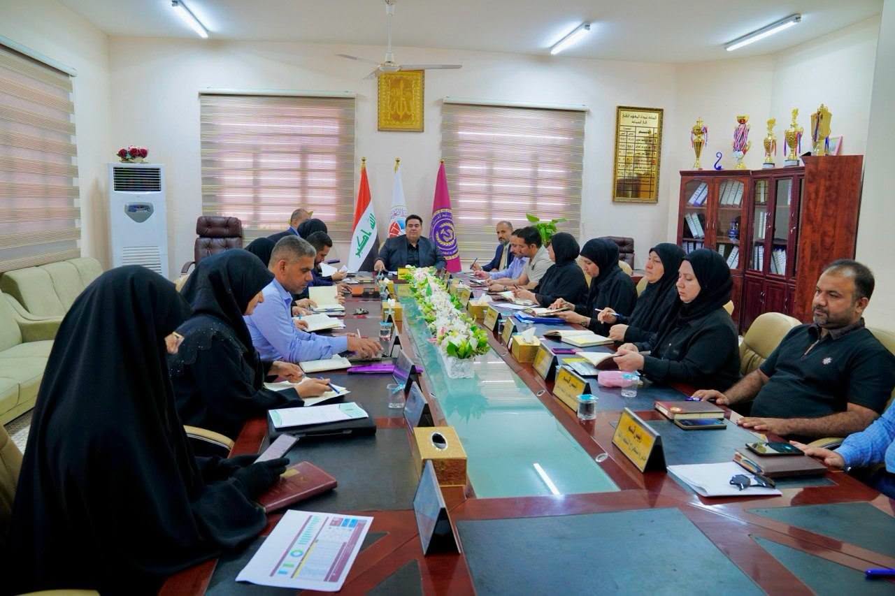
📷 Photo Gallery


📊 Staff & Student Numbers
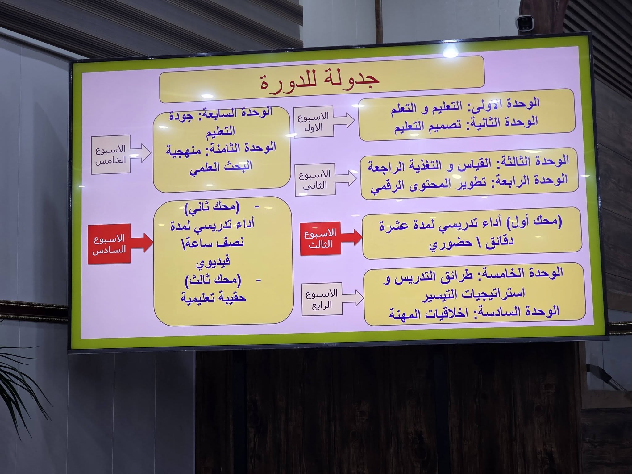
🔧 Workshops & Courses
- 📅 Nov 16, 2025 – (Courses – Surveying) Using Rs&Gis techniques in disaster management and risk reduction
- 📅 Aug 3, 2026 – (Courses – Surveying) Using ERDAS for satellite image analysis
- 📅 Jul 12, 2025 – (Courses – Surveying) Managing bridge maintenance using Total Station and GIS software
- 📅 Sep 24, 2025 – (Workshops – Surveying) Using Global Mapper for flood measurement
- 📅 Oct 13, 2025 – (Workshops – Surveying) Drone applications in surveying
- 📅 Sep 18, 2025 – (Workshops – Surveying) Using Sketch Master for aerial image evaluation
- 📅 Feb 22, 2026 – (Workshops – Surveying) Representing total station and GPS data on ARGIS
- 📅 Feb 15, 2026 – (Workshops – Surveying) Topographic point extraction and map production
- 📅 Feb 2, 2026 – (Workshops – Surveying) DGPS data processing using Trimble Business
- 📅 Sep 28, 2025 – (Seminars – Surveying) How to answer discussion questions
- 📅 Nov 2, 2026 – (Seminars – Surveying) The role of surveying engineer in the labor market

Mr. Qasim Jaber Salman
Head of Surveying Technologies Department
Lecturer / Bachelor’s in Surveying Engineering
📧 [email protected]

Asst. Lect. Huda Abdulhadi Obaid
Course Coordinator
Assistant Lecturer / Master’s in Accounting
📧 [email protected]
👩🏫 Faculty Members
- 🔹 Qasim Jaber Salman – Lecturer / Bachelor’s in Surveying Engineering
- 🔹 Huda Abdulhadi Obaid – Assistant Lecturer / Master’s in Accounting
- 🔹 Marwa Abdulhadi Hasan – Assistant Lecturer / Master’s in Surveying Engineering
- 🔹 Mohammed Radhi Adhab – Assistant Lecturer / Bachelor’s in Surveying Engineering
- 🔹 Saif Abdulameer Watan – Assistant Lecturer / Master’s in Surveying Engineering