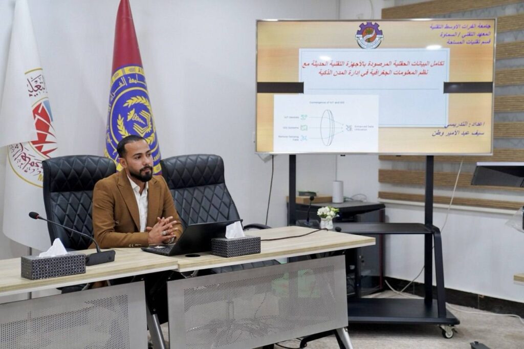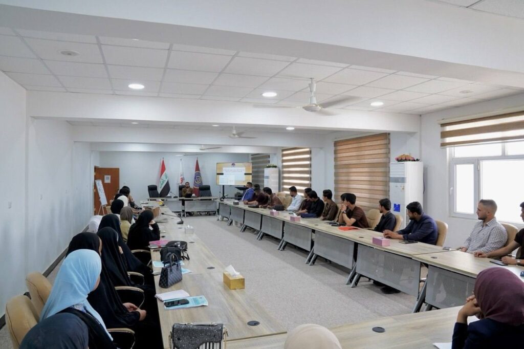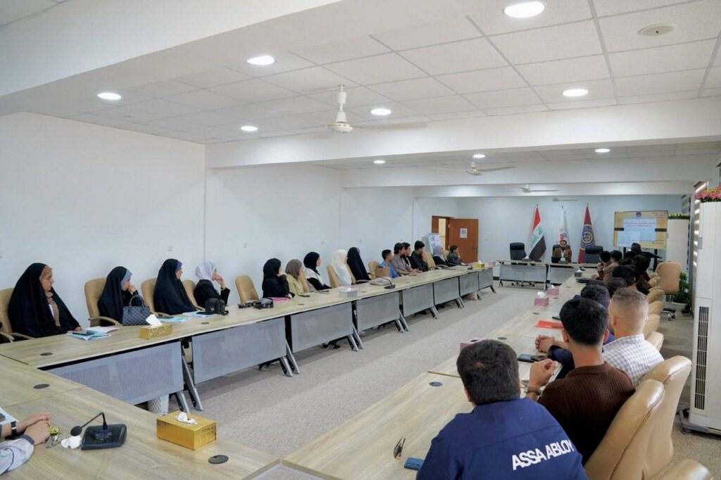

The Surveying Technologies Department at the Technical Institute of Samawah, part of Al-Furat Al-Wasat Technical University, organized a training course titled “Integration of Field Data with Geographic Information Systems (GIS) in Smart City Management,” as part of the activities of the Continuing Education Unit.
The course addressed the mechanisms of integrating field data collected by modern surveying devices with Geographic Information Systems (GIS) and their role in supporting smart city applications by building accurate spatial databases that contribute to urban planning, infrastructure management, and service improvement.
The course aimed to develop participants’ skills in collecting, analyzing, and linking spatial data, and to enhance the use of GIS technologies in supporting decision-making and managing smart cities according to modern digital methods.
The course also recommended expanding the adoption of GIS systems, strengthening integration between modern surveying devices and digital systems, and organizing advanced specialized courses in spatial analysis and smart city management.
Lecturer: Saif Abd Al-Amir Watan
#Government_Media_and_Communication