Assistant department: Noor Abdulkarim Saadoun
Head of Department / Ms. Marwa Abdelhady
Vision:
Excellence and modernity in qualifying technical cadres in the field of civil technologies scientifically and practically to meet the needs of the labor market.
Mission:
Preparing scientifically and practically qualified human cadres in the field of civil engineering techniques capable of competing in the labor market in accordance with the approved international quality standards and development in the field of construction and urbanization.
Objectives:
1- Working on the development of technical work by developing curricula, modernizing laboratories according to internationally approved good laboratory standards, and engaging the members of the department in specialized qualification courses. of the department in specialized training courses.
2- Contributing to community service by organizing courses and workshops in various civil engineering applications and advancing the movement of construction and reconstruction at a high level of quality.
3- Exchanging theoretical and practical technical experiences with technical institutes and colleges with the corresponding specialization and the labor market in the private sector. 4- Providing a stimulating environment for learning and training.
5- Providing engineering and technical consultations to all departments and institutions of the state and the private sector.
Graduate’s job description Carrying out triangulation, ribbing and leveling works for the purpose of fixing horizontal and vertical ground control points using the necessary surveying devices such as (theodolite, level, total station DGPS,).
Carrying out topographic and cadastral surveying and leveling works necessary for engineering projects and preparing general planimetric and topographic survey maps.
Prepare maps from aerial photographs and image data (aerial and space) using the necessary filling devices or using ready-made programs prepared for the purpose of processing space images and extracting all natural land features. Designing and drawing maps according to the Iraqi and international network and the stages of their production using the necessary devices and modern programs prepared for this purpose.
Preparing digital maps to collect, monitor, store, process, update and analyze data to produce results, display all information and extract thematic maps using the GIS system.
Statistics
-
-
Number of first stage students (26) morning
Number of second stage students (23) in the morning
Number of first stage students (25) in the evening
Number of students of the second stage (17) in the evening
Number of teaching staff (4)
Number of technical staff (11)
Number of teaching and technical contracts ( )
-
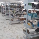
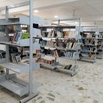
Department laboratories
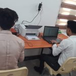
The lab contains computers (laptops) to train students to draw and fill maps by using computer programs related to the digital photography course.
Objective:
The aim of teaching the digital imaging course is for students to learn to use programs (LPS, GIS, erdas)
The laboratory is specialized in land surveying and geodetic techniques and is constantly updated with the latest technologies and devices available in the field of surveying.
Objective: Providing requirements for the study of land surveying, geodesy and astronomy for undergraduate students, in addition to providing the requirements for holding specialized courses.
It is considered one of the effective laboratories in the Department of Surveying. It contains the requirements of a good laboratory such as a pharmacy, fire extinguisher, fire alarm, bulletin board, air conditioners, ventilation windows, trash cans, illustrations, guidelines and instructions for using the laboratory.
Objectives
Graduating staff with technical and scientific expertise in accordance with the requirements and needs of the labor market and teaching and training students on the latest programs for the specialty of surveying and how to deal with them The student will be able to use the program (CIVIL3D) for the purpose of representing the data observed in the field in modern monitoring devices that deal with points such as (Total station, DGPS) and showing them in the form of a map and according to the purpose of that work. He will be able to employ the principles of the Geographic Information System (GIS) by using spatial, descriptive, network and vector data for the purpose of preparing maps of all kinds (thematic, topographic and cadastral) and outputting them in final form as digital or paper maps with reports, and training students on how to use the DGPS system and its applications.
Brief Description
The Map Technology Laboratory is one of the specialized subjects where the basic principles of map technology are taught (the practical side) and the presence of the necessary equipment for training on how to design, prepare and analyze maps of all kinds by traditional and digital methods, as well as being equipped with various devices, maps and appropriate imports that help this, under the supervision of a competent teaching staff and trained technical staff and using modern and different teaching and training methods in order to provide state institutions with qualified technical cadres for work.
Objective: The Map Technology Laboratory aims to enable the student to design, prepare and produce maps according to the vocabulary prescribed in the Map Technology course.
Description: The laboratory goes in the direction of expanding the base of technical education and its modern applications and aims to learn and acquire manual experiences using hand tools and measuring tools and acquiring skills in construction work.
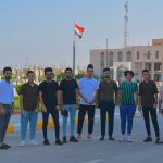
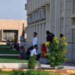
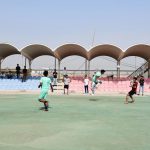
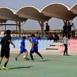
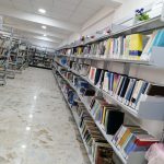
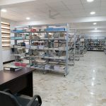
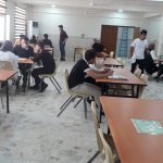
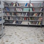
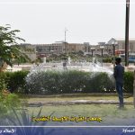
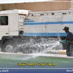
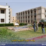
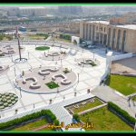
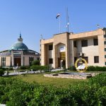
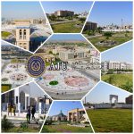
Photos